Classes: Week 2
Our second week of classes began with a quick weekly briefing of the week’s events before breaking off into our various pathways. My pathway spent both our morning and afternoon session with Prof. Hillsdon exploring te relationship between where people live and their physical activity levels. We spent time discussing what areas of their lives people get most of their physical activity in, where they get it, and how cities could support more physical activity. As it turns out, shopping is one of the largest single areas for physical activity for the average person in the UK (This probably comes as good news to those Black Friday shoppers back home!) Transport, especially to an from work and all those shopping trips, is the area with the most potential for improvement and could be a significant factor in the ability to raise people’s weekly physical activity.
After breaking for lunch, we returned to class and were given a chance to design an eco-friendly, activity supporting city. The assignment helped me realize the difficulty of combining metropolitan convenience with physical activity-supporting factors like walkability. The unique perspectives of our culturally diverse groups when designing our cities was also interesting: those with Western backgrounds immediately gravitated towards a grid-like design while others with European and Eastern backgrounds immediately considered the possibility of a wheel and spoke design.
Before breaking for the day, each of us was given a GPS unit and charger to track our movements until the next day’s lab on GIS. In order to get some interesting data, I spent the evening exploring more of Exeter with Cayla and we even got to stop by the local firestation and Victorian-era prison. Our wandering explorations made for an interesting lab session with Clive Sabel the following day as we were instructed in the basic methodologies and applications of GIS (Geographic Information Systems). We were all able to load our unique GPS data into the system and overlay it onto a map of Exeter to chart our whereabouts. It was both fun and interesting to track everyone’s night and look at the speeds and paths taken to and from campus. Besides examining our own data, we also manipulated childhood obesity and economic data for the Devon area through GIS mapping and simple statistics. By looking at different factors, we were able to find correlations among different variables, like the positive one I calculated between income deprivation and the density of the 0-4 year population of an area.
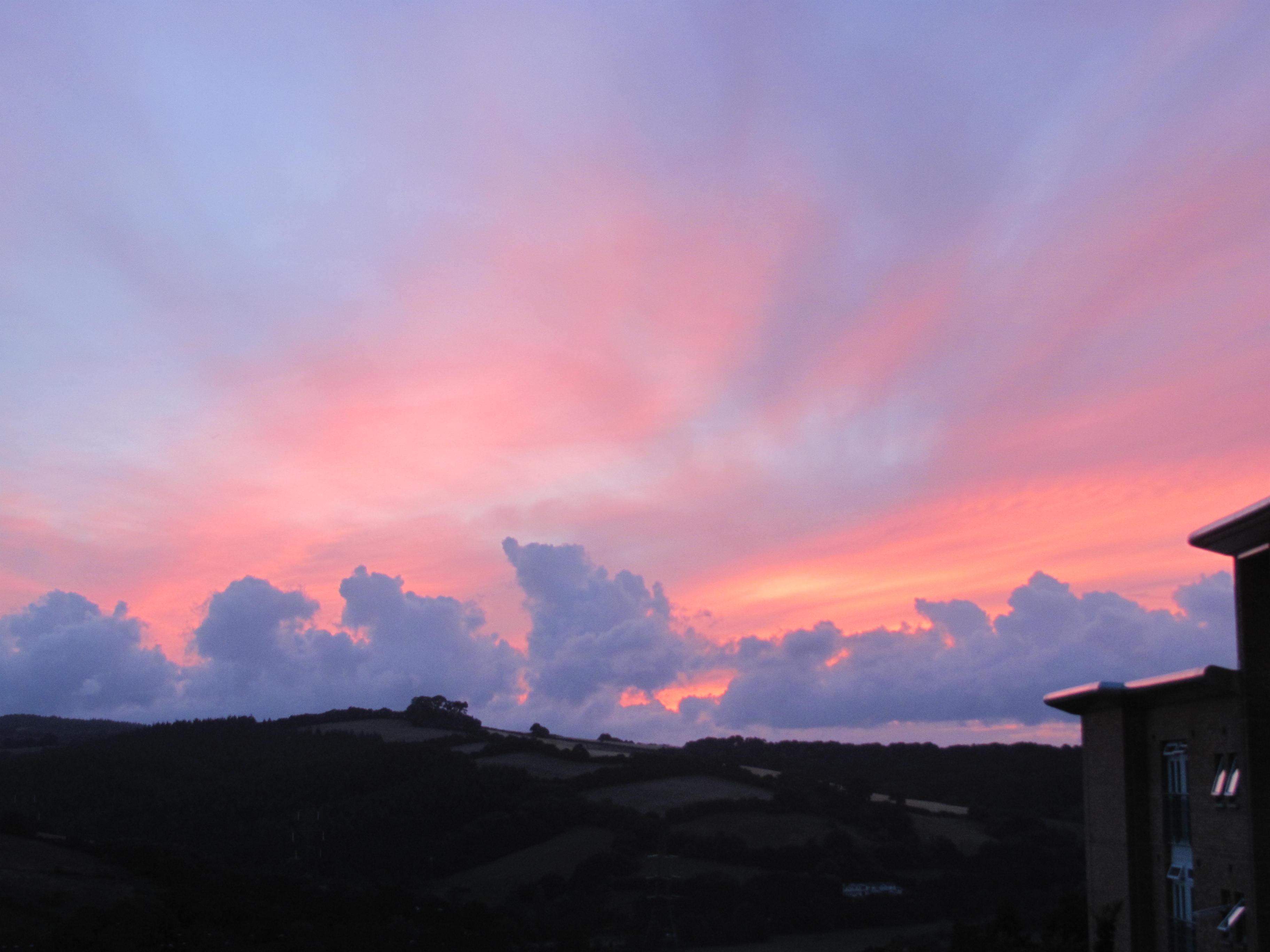
Exeter Sunset
After a day of GIS, I participated in a short film interview about the “summer school experience” before rushing to make our traditional Devon cream tea at the Exeter Cathedral. Thankfully, there was still hot tea with scones, clotted cream, and jam to go around. (Clotted cream is almost butter-like and spread atop scones with a fruity jam for the Devon cream tea experience. Obviously, it horrible for you, but just as equally delicious.) Veronica, Juliet, a student from France, and I then wandered around Exeter’s High Street shops before heading back to Holland Hall for dinner. We decided to make it an early night in preparation for our day trip to The Eden Project the next morning.
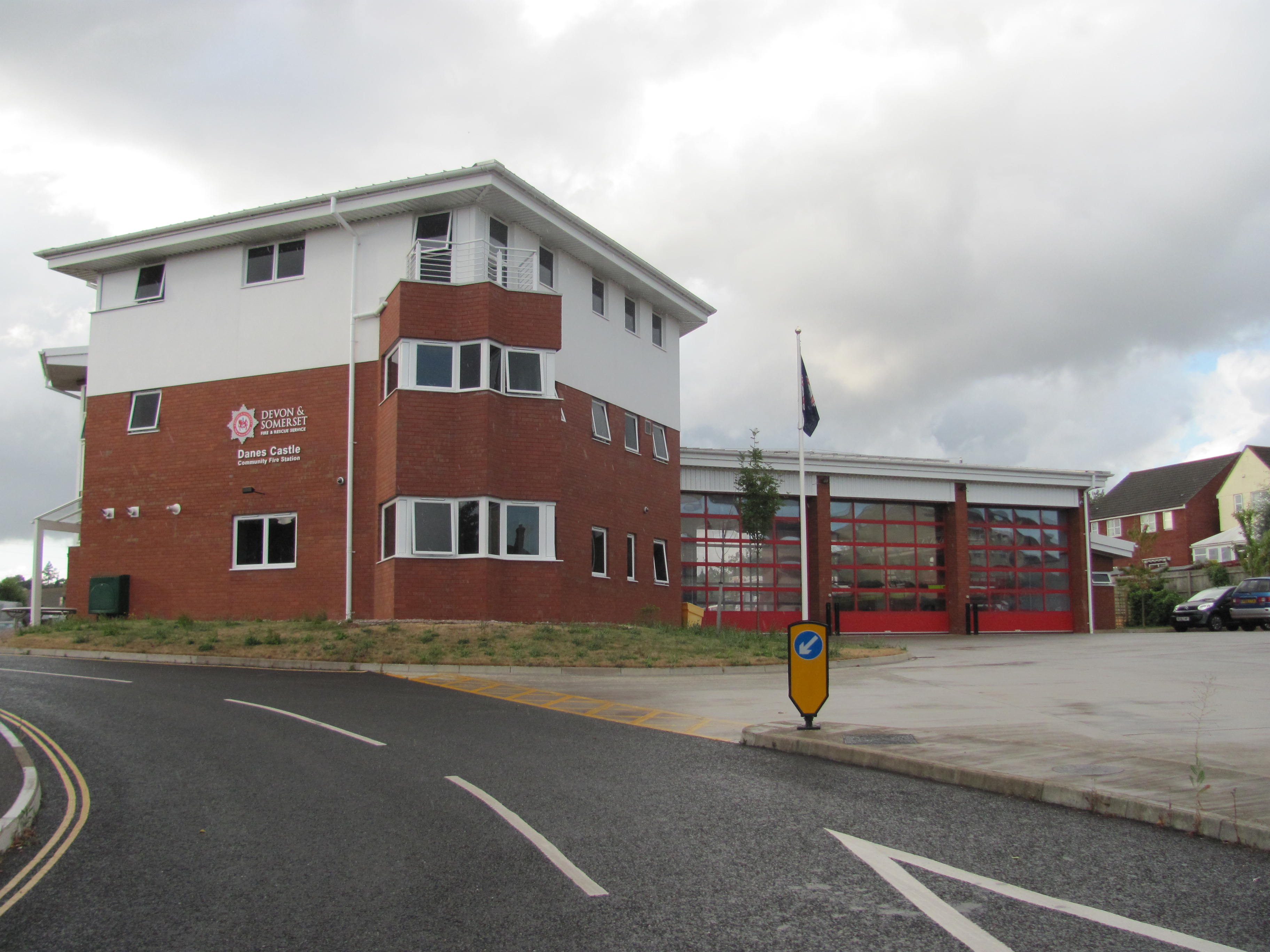
Exeter Fire Station
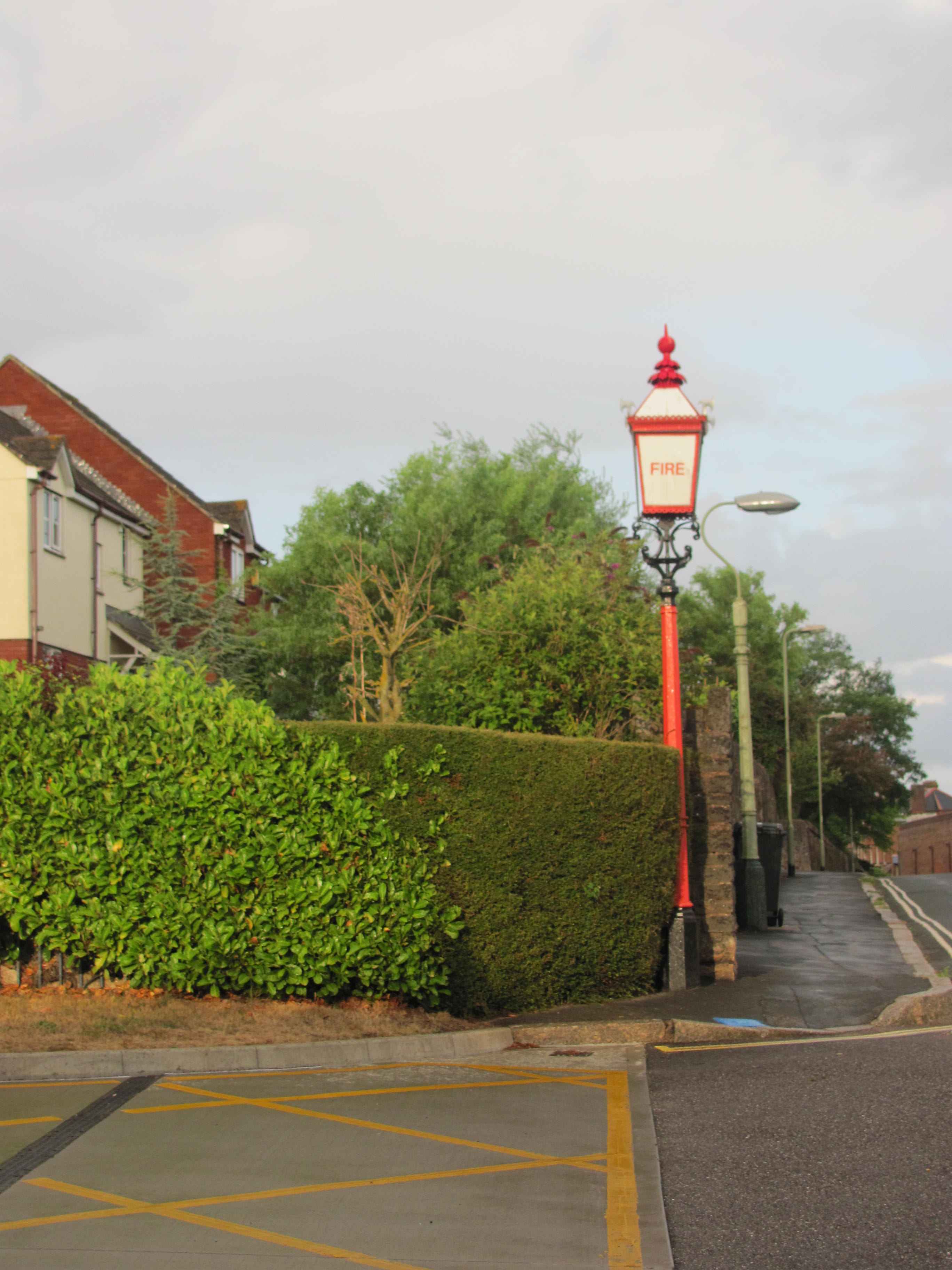
Fire Lantern (with little axes on the corners!)
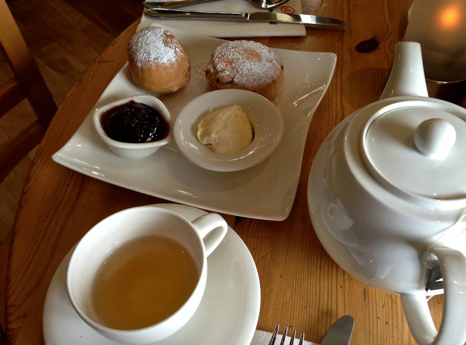
Cream Tea!